Mapping the Conflict in Aleppo, Syria
![]() Over the course of four months American Security Project supported Caerus Associates and First Mile Geo in what may be the highest fidelity, time series analysis of the ongoing human tragedy unfolding inside of Aleppo, Syria.
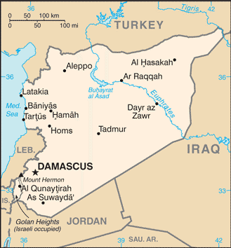
Over the course of four months American Security Project supported Caerus Associates and First Mile Geo in what may be the highest fidelity, time series analysis of the ongoing human tragedy unfolding inside of Aleppo, Syria.
The picture derived from this work offers a clear and stunning perspective, street block by street block of the Syrian conflict and the impact it is having.
The report’s authors, David Kilcullen and Nathaniel Rosenblatt, draw from this picture by covering the humanitarian, security, political, and governance implications that follow from it.
![]() This work does not just tell us something about Syria, however. It also tells us something about how advancements in innovative technology like First Mile Geo can offer a dynamic and interactive picture that can be used by analysts and humanitarian responders alike.
This work does not just tell us something about Syria, however. It also tells us something about how advancements in innovative technology like First Mile Geo can offer a dynamic and interactive picture that can be used by analysts and humanitarian responders alike.

Aleppo Mapping Project Final Report by The American Security Project


[…] Mapping the Conflict in Aleppo, Syria […]
[…] For the full report, click here: Mapping the Conflict in Aleppo, Syria […]
[…] From September 2013 to January 2014, Caerus Associates worked with local research teams in Aleppo to conduct an assessment of the conflict in the city using First Mile Geo, a cloud-based map and data analytics platform. Thursday morning the American Security Project hosted a briefing in which Dr. David Kilcullen and Nathan Rosenblatt of Caerus reported their findings. The full report can be downloaded here. […]
[…] Mapping the Conflict in Aleppo, Syria […]